Mapping Half-Earth
Published in GIS for Science, Vol. 3: Maps for Saving the Planet, 2021.
Rinnan DS, Vega GC, Casal E, Williams C, Heltne C, Johnson J. Mapping Half-Earth. In “GIS for Science, Vol. 3: Maps for Saving the Planet”, Esri Press, Redlands, CA.
Download here
Abstract:
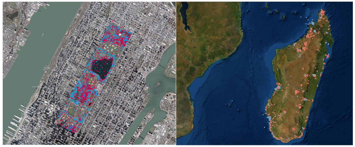
Spatial biodiversity knowledge is vital for effective conservation planning. The Half-Earth Project has created a comprehensive map of our planet’s biodiversity to inform and track conservation efforts and ensure that no species is driven to extinction from lack of knowledge.


